humanitarian.info
What We Do
Who We Are
Contact Us
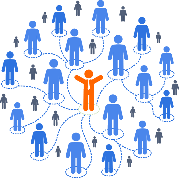
Artificial and Human Intelligence working together for a safer world.
We’re unlocking Expert Knowledge to create a global digital Public Good for Disaster Preparedness and Response.
Do you want to know more?
Contact Us